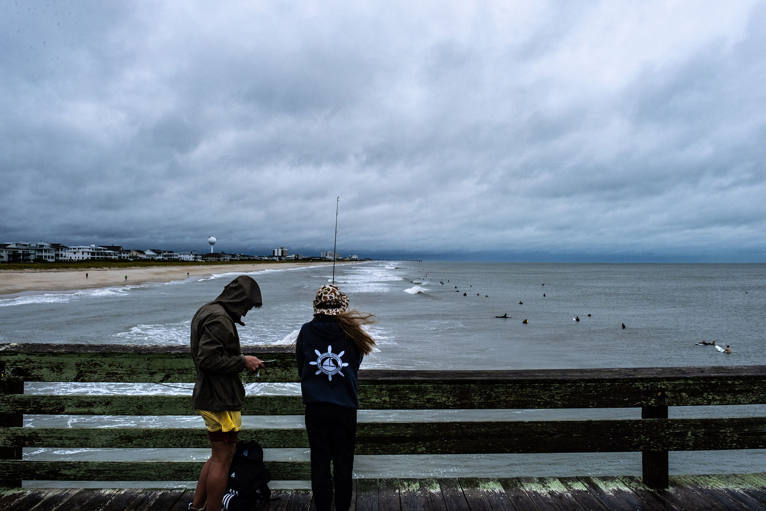

Tropical Storm Ophelia is continuing to bring heavy rainfall and strong winds to parts of the Mid-Atlantic after making landfall early Saturday near North Carolina’s Emerald Isle.
The storm moved over southeastern Virginia on Saturday afternoon, the National Hurricane Center announced in a 5 p.m. advisory. Spinning out maximum sustained winds of 40 mph, it was centered about 50 miles south of Richmond, the center said.
Ophelia was expected to bring flooding, coastal storm surge and potential tornadoes to the Mid-Atlantic throughout the weekend, according to the National Weather Service. Severe weather, including heavy rain paired with flooding, hail and tornadoes is also likely in parts of the Central U.S., including eastern Oklahoma into the Lower Missouri River Valley through Saturday night.
“A tornado or two may occur today over parts of the Mid-Atlantic Coast,” the National Hurricane Center said.
The system brought tropical storm conditions to North Carolina, with rainfall upwards of 1 to 3 inches per hour and sustained winds with gusts of 35 to 45 mph, according to the National Weather Service’s field office in Raleigh.
Eastern parts of the state, along with southeast Virginia, are expected to receive “3 to 5 inches with isolated higher totals around 8 inches into Sunday morning,” according to the National Hurricane Center.
In North Carolina, Tarboro had received 4.31 inches of rain and Winston Salem had 3.97 inches, the weather service’s field office in Raleigh said in a rainfall update just before 6 p.m.
A flash flood warning was in effect for a swath of the region in North Carolina, including the cities of Raleigh, Roanoke Rapids and Cary until early evening. Residents were warned to move to higher ground and avoid walking or driving through flood waters.
In Greenville, North Carolina, on Saturday police rescued a small pit bull terrier they said was inches from drowning in rising floodwater because it was tied to a fence. The Greenville Police Department said in a statement that local animal protective services personnel will investigate.
A tropical storm warning is in effect from Ocracoke Inlet, North Carolina, to Fenwick Island, Delaware. It also covers much of Chesapeake Bay, from North Beach, Maryland, south, according to the advisory.
An isolated tornado is also possible along North Carolina’s coast, according to the weather service. Two tornado warnings were in place earlier Saturday morning in parts of northeastern North Carolina.
A little over 17,000 utility customers were without power in North Carolina and over 13,000 were without power in Virginia as of Saturday evening, according to Poweroutage.us. More than 85,000 customers were without power in North Carolina at one point Saturday afternoon.
Elsewhere in the Mid-Atlantic, rainfall of up to 2 to 4 inches is possible through Sunday. Around 1 to 3 inches of rain is possible across southern New York through southern New England Saturday into Monday.
“This rainfall may produce locally considerable flash, urban, and small stream flooding impacts, particularly across the Mid Atlantic region from North Carolina to New Jersey,” the National Hurricane Center said in an update. “Isolated river flooding is possible in areas of heavier rainfall.”
Late Friday, Maryland Gov. Wes Moore declared a state of emergency in anticipation of flooding, road closures and storm damage.
“If you can avoid driving or being out during the storm please do so,” he said in a statement. “We are expecting an extended period of strong winds, heavy rainfall, and elevated tides.”
On Saturday, the New York City Emergency Management Department issued a travel advisory covering the weekend and advising motorists to drive only if they “must.” As much as 3 inches of rain was expected, the department said.
“Isolated flash flooding cannot be ruled out,” it said.
There’s an enhanced risk for severe storms to impact parts of Oklahoma, Kansas, Missouri and Arkansas Saturday afternoon into the evening.
“The primary hazards will be hail, some of which may be greater than 2” in diameter, and damaging gusts,” the NWS Storm Prediction Center said, adding that a couple of tornadoes may be possible.
Storm surge warnings covered parts of the coastline, from Hatteras Inlet in North Carolina to Colonial Beach, Virginia. The warnings signify the possibility of a life-threatening rise in the water level, with forecasters expecting a 1 to 4 foot rise depending on location.
Ophelia is also expected to generate ocean swells that will affect much of the East coast through the weekend that “are likely to cause life-threatening surf and rip current conditions.”
The storm is expected to weaken and will likely become a post-tropical cyclone by Sunday, meaning it will no longer possesses the characteristics to be considered tropical.
 Tops Top News Online Real News Portal


